Kozhikode, historically known as Calicut, offers a variety of transportation options catering to both residents and visitors. Here’s a comprehensive guide to navigating the city:
1. Roadways
- National Highways: Kozhikode is connected by several major highways:
- NH 66: Runs along the west coast, linking Kozhikode to Mumbai in the north and Kanyakumari in the south.
- NH 766: Connects Kozhikode to Bangalore via Mysore.
- NH 966: Links Kozhikode to Palakkad, passing through key towns like Malappuram and Perinthalmanna.
- State Highways: Several state highways, such as SH 29, SH 34, SH 54, and SH 68, enhance regional connectivity.
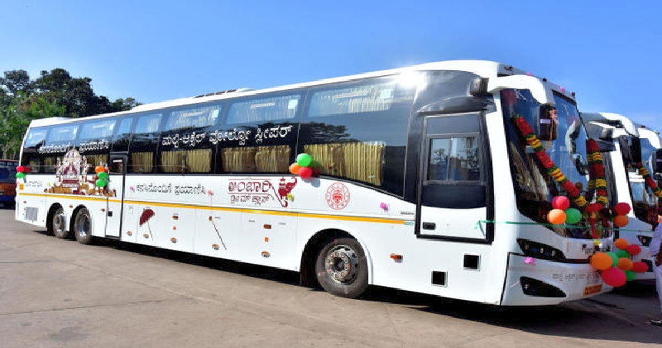
2. Bus Services
- City Buses: Predominantly operated by private owners, these green-colored buses provide affordable transportation within the city and to nearby areas.
- Kerala State Road Transport Corporation (KSRTC): Operates regular services to major destinations within Kerala and neighboring states.
- Bus Terminals:
- KSRTC Bus Stand: Located on Indira Gandhi Road (Mavoor Road), it’s the largest bus stand in Kerala.
- Mofussil Bus Stand: Also on Mavoor Road, serving private buses to adjoining districts.
- Palayam Bus Stand: Caters to private buses heading to suburban and nearby towns.
3. Railways
- Kozhikode Main Railway Station: A pivotal hub offering connections to major Indian cities, including Thiruvananthapuram, Kochi, Chennai, Bangalore, Mumbai, and New Delhi.
- Suburban Stations: Stations like Elathur, West Hill, Vellayil, and Kallai primarily serve local passenger trains.
4. Air Travel
- Calicut International Airport: Situated approximately 26 km from the city center in Karipur, the airport offers both domestic and international flights, connecting Kozhikode to major Indian cities and Middle Eastern destinations.
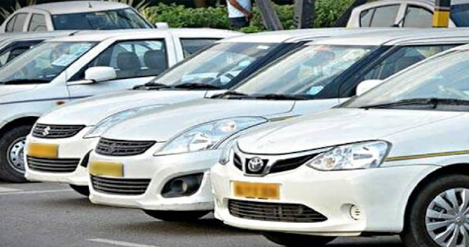
5. Local Transportation
- Taxis and Auto-Rickshaws: Widely available throughout the city, offering convenient options for short-distance travel.
- Rental Services: Several agencies provide cars and bikes for rent, catering to those preferring self-driven transportation.
6. Proposed Light Metro
- Kozhikode Light Metro: A planned urban transit project aiming to span approximately 13.3 km, connecting Meenchanda in the south to Kozhikode Medical College in the north, with 14 strategically located stations.
Transportation Overview Table
| Mode of Transport | Availability | Coverage Area | Average Fare | Notes |
|---|---|---|---|---|
| City Buses | 5:00 AM – 10:00 PM | Within city and suburbs | ₹8.00 for 5 km | Green-colored buses; punctual and economical. |
| KSRTC Buses | 24/7 | Intercity and interstate | Varies by destination | Operates from KSRTC Bus Stand on Mavoor Road. |
| Taxis | 24/7 | City and outskirts | ₹1,000 per day (approx.) | Air-conditioned options available; can be booked via phone or online. |
| Auto-Rickshaws | 24/7 | City and suburbs | ₹30 per km (approx.) | Ideal for short distances; fares may vary. |
| Railways | As per schedule | Nationwide | Varies by class and destination | Main station located south of Mananchira Square. |
| Air Travel | As per schedule | Domestic and international | Varies by airline and destination | Airport located 26 km from city center. |
This guide provides an overview of the transportation options in Kozhikode, ensuring a seamless experience as you navigate the city.